GEOD
unitbase
Specifying the scale of the drawing area with the unitbase command
The unitbase command is used to set the scale of the working window.
To draw a cross-section, GEOD uses two things:
- a scale, that is, the conversion ratio between the field and the document,
- and a grid, which acts as graph paper. Figure 1 shows an example of this grid displayed in the background of the working window.
The grid is made of major lines and minor lines. The major lines divide the figure into major squares, which are equivalent to the centimetre squares of graph paper.
These major squares are themselves subdivided by the minor lines. The number of subdivisions may be adjusted according to the user's preferences. Figure 1 shows the same kind of grid as graph paper with 9 subdivisions per square. In general, GEOD usually works with only 3 or 4 subdivisions.
By default, GEOD applies a simple rule for the visualization of a cross-section:
1 metre in the field = 1 pixel on the screen
Given the size of computer screens, this conversion rule makes it possible to work on areas extending up to about 2000 metres.
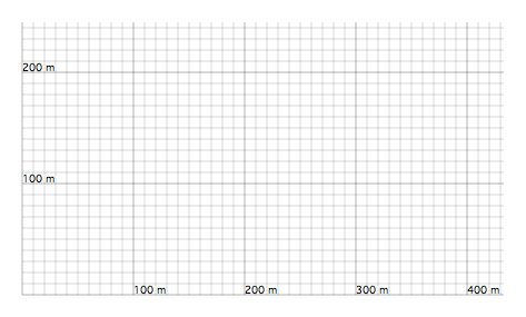
Figure 1 : Grid displayed by default in the GEOD working window. One pixel on the screen represents one metre in the field.
One square on the screen measures 100 pixels on each side, except when the option Cross Sections -> Elastic Grid is selected in the menu. Since one square is equivalent to a square of 1 cm side on paper, the default scale of GEOD is therefore 1:10,000.
To draw a cross-section at a scale of 1:50,000 or 1:1,000,000, this is clearly not sufficient. This is why GEOD provides a command called unitbase, which makes it possible to modify the working scale of the document. The command uses the following syntax:
unitbase f
where f is a conversion coefficient used to obtain the new scale, according to the following rule:
f metres in the field = 1 pixel on the screen
For example,
unitbase 5
makes it possible to work with squares representing 5 × 100 = 500 metres of field per centimetre, that is, at a scale of 1:50,000.
Figure 2 shows an example of the new grid produced by this instruction. One can see that it is the same grid, but with different numbers: one square now represents 500 metres instead of 100 metres.
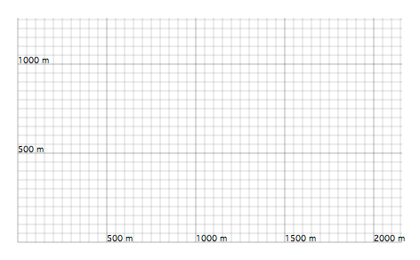
Figure 2 : Grid displayed after applying a unitbase 5 instruction in order to work at a scale of 1:50,000.
The table below lists the most commonly used conversion coefficients:
| Scale | One square (1 cm) corresponds to | f |
|---|---|---|
| 1:1,000 | 10 m | 0.1 |
| 1:10,000 | 100 m | 1 |
| 1:25,000 | 250 m | 2.5 |
| 1:50,000 | 500 m | 5 |
| 1:80,000 | 800 m | 8 |
| 1:100,000 | 1 km | 10 |
| 1:250,000 | 2.5 km | 25 |
| 1:1,000,000 | 10 km | 100 |
Finally, it should be recalled that unitbase is a command that strongly influences the behaviour of other GEOD instructions.
It is therefore strongly recommended to insert any unitbase instruction before any other instruction in the script.